


Search by topic
- archaeology
- architecture
- bricklayer
- Building of Local Interest
- carpenter
- church
- crime
- dressmaker
- fire
- general labourer
- Great Eastern Railway
- listed building
- medieval
- oral history
- Public House
- Rattee & Kett
- Roman
- scholar
- school
- Then and Now
- tudor
- women
- work
- world war one
- world war two
Search by text
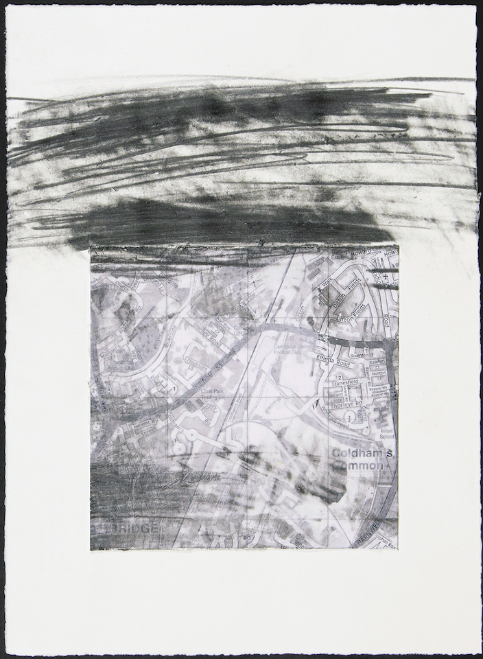 Barnwell - collage and graphite on paper © Ian Rawlinson 1915
Rayson Way
History of Rayson Way
An extract from Age of Consent by Ian Rawlinson
© Ian Rawlinson 2021 All rights reserved
The Whitehill Estate was another dominant area from my childhood. My grandparents lived in a first floor council flat on Rayson Way, with a garden that bordered the corner of Rawlyn Road and the nearby bus stop. This area seemed far more modern and municipal than River Lane, with spacious streets and low-rise housing set in an all too familiar 1950s estate. My grandfather worked on the railway most of his life and spent his latter years working at Ivett and Reed on Newmarket Road. He would go off to ‘Bible class’ on Sunday morning, which basically meant cycling to his favourite pub, The Champion of the Thames on King Street. My grandmother worked in the small shop between the Racehorse pub and Pye’s Ditton Works. She liked going out to play bingo. Days seemed bright and carefree on our visits and my brother and I would often stay overnight whilst our parents went out for the evening. I loved the winter mornings and being allowed to light the gas fire in the living room to get warm. The flight of stairs that led to the front door turned at a right angle half way down and my grandmother’s aspidistra was proudly displayed on the small corner landing. The garden was a source of fascination with its sticky, chalk-coloured soil, ‘ice plants’ and stone birdbath. My grandfather had built a small arbour opposite the front door which contained a water tank that collected the rain water that ran off the shed roof. The hedges and grass often needed cutting and we would sometimes participate in these outdoor activities. Nearby Barnwell Road was another end-of-the-line place at the time, coming to an nondescript end just south of the junction with Peverell Road, where the tarmac road suddenly stopped at a grass verge. A narrow concrete footpath and dirt track continued around Coldhams Common, connecting with Coldhams Lane and Brooks Road just after passing under an elevated railway bridge. This truncation of Barnwell Road looked as if they had given up halfway through building it, which is not far from the truth. I would look out across the common and fields and often wondered what lay at the other end of the footpath but was not allowed to find out at the time. We were still within the realms of Newmarket Road, its arterial eastward path and industrial past. Marshalls Airport was nearby and the roar of engine testing was an occasional intrusion on the seemingly slow-paced nature of the estate. There were several alternative routes home from Rayson Way. The most scenic of these involved driving through Fen Ditton and Horningsea, crossing the river at Clayhithe and joining the A10 at Waterbeach, to head back through Milton to King’s Hedges. At the time, the nearest road bridges over the Cam were on Victoria Avenue and Bridge Street in the city centre. The constraining presence of the A45 (now A14) northern bypass and the blunt structure of the Elizabeth Way Bridge were yet to be built.
Contribute
Do you have any information about the people or places in this article? If so, then please let us know using the Contact page or by emailing capturingcambridge@
License
 This work is licensed under a Creative Commons Attribution-NonCommercial-ShareAlike 4.0 International License.