Search by topic
- archaeology
- Building of Local Interest
- chapel
- charity
- church
- crime
- dressmaker
- fire
- Great Eastern Railway
- Listed building
- Mapping Relief
- medieval
- oral history
- poverty
- Public House
- Religious House
- Roman
- scholar
- school
- Then and Now
- tudor
- women
- work
- world war one
- world war two
Search by text
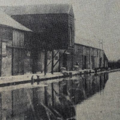
 The Cock-Up Bridge, Burwell Lode, 1950 (MoC208/68)
Cock-Up Bridge, Burwell Lode
History of Burwell Lode
This map is assumed to be the bridge shown in the picture, described as The Cock-Up, Burwell Lode.
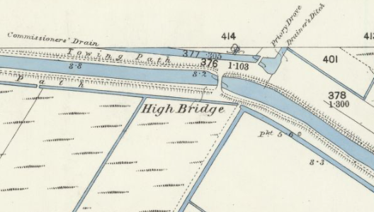
Burwell Lode OS 1885
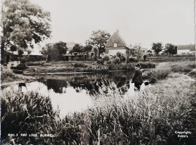
The Lode, Burwell (MoC)
The Cock-up bridge figures prominently in The Farm in the Fens, Alan Bloom, 1943 as the bridge lay on the southern boundary of the farm, Priory Farm.
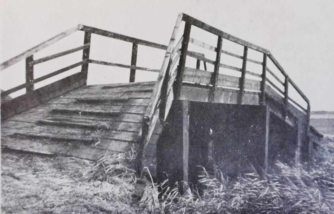
Cock-up bridge c.1943 (from The Farm in the Fen)
Projects
Contribute
Do you have any information about the people or places in this article? If so, then please let us know using the Contact page or by emailing capturingcambridge@
Licence
This work is licensed under CC BY-NC-SA 4.0![]()
![]()
![]()
![]()