Search by topic
- archaeology
- Building of Local Interest
- chapel
- charity
- church
- crime
- dressmaker
- fire
- Great Eastern Railway
- Listed building
- Mapping Relief
- medieval
- oral history
- poverty
- Public House
- Religious House
- Roman
- scholar
- school
- Then and Now
- tudor
- women
- work
- world war one
- world war two
Search by text
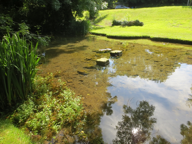 Spring Pond Cherry Hinton
Cherry Hinton Brook and other waterways
Notes on local historical waterways
Several streams ran across this area at ground level until the later 20th century. One started behind modern Fendon Road gardens, crossed Queen Edith’s parallel to Mowbray, Perne and Brooks Road as far as Coldham’s Common. It emerged at the Brooks Road Roundabout. Another stream ran under the site of Queen Edith’s school. In the 1950s there was still a stream visible running between the allotments and the house on the east side of Mowbray road. The CWN 25.3.1982 quoted a local resident Mrs Summers: ” We used to lay two planks across the brook to enable me to wheel the pram to the shops in Cherry Hinton Road.”
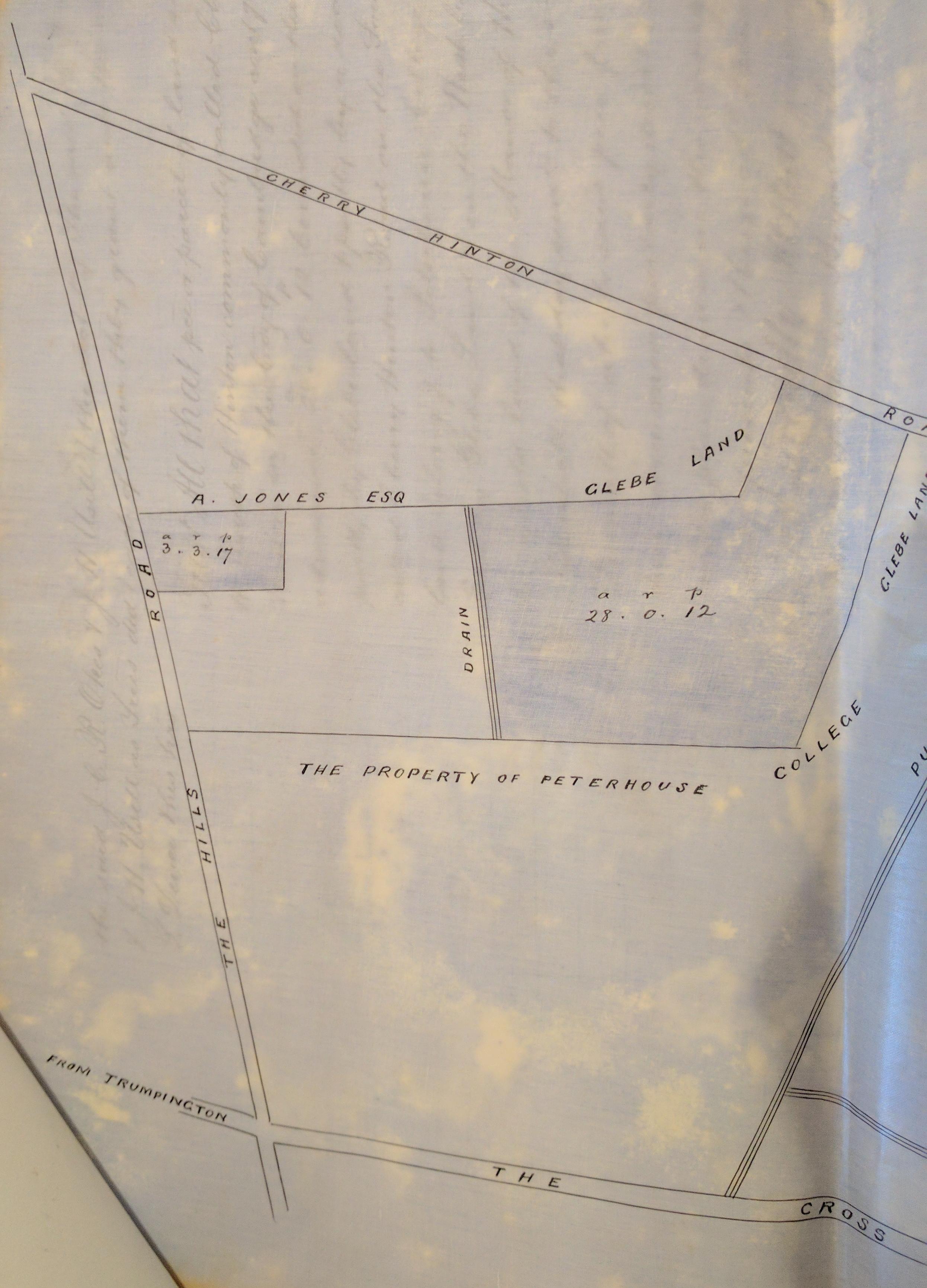
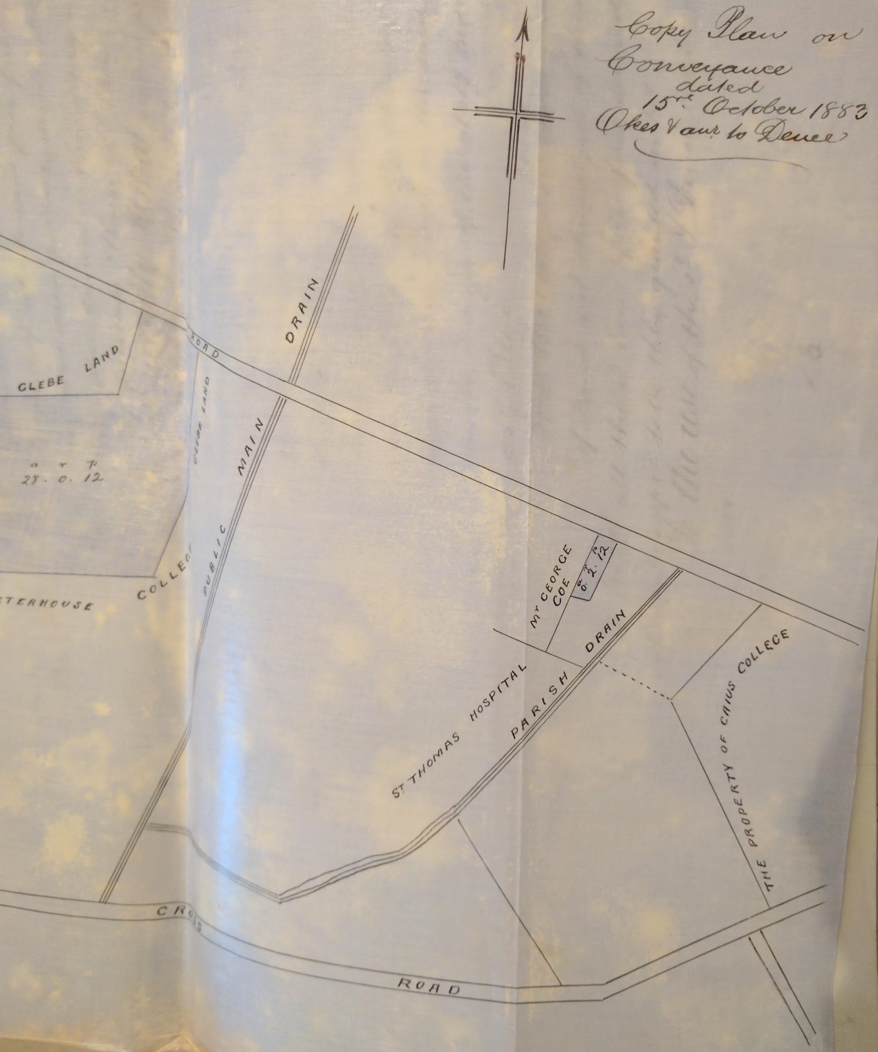
The 1883 plans of the conveyance of the land by the trustees of John Okes are interesting because they shown the existence of drains. One follows the line of Baldock Way, another Mowbray Road and another which connects with the southern end of what is now Mowbray Road and runs north east towards Cherry Hinton Hall.
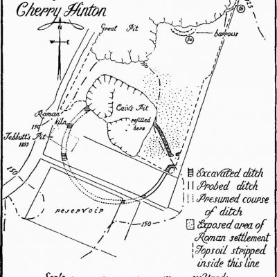
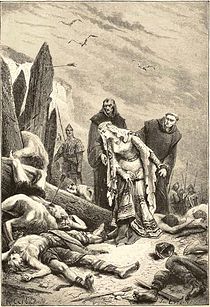
The only visible stream to survive is Cherry Hinton Brook. The existence of the spring here encouraged prehistoric settlement on Limekiln Hill. The ‘War Ditches’ site here is evidence of Late bronze Age and Iron Age settlement. By 110 AD there was a a Roman farm of which the remains of several buildings have been found.
The site of the spring in Cherry Hinton contains an island known locally as ‘Giant’s Grave’. This may be because of the association with the giant Magog, but could also be because of the unusually tall skeletons which were unearthed locally on Lime Kiln Hill. The ‘Giant’s Grave’ is also know as ‘The Spring’ or ‘Springhead’ or ‘Robin Hood dip.’
The water from the spring was used to power local mills. The Domesday book mentioned four mills in Cherry Hinton which would have been water powered.
Sources: Cambridge News (Cambridgeshire Collection), site information.
Contribute
Do you have any information about the people or places in this article? If so, then please let us know using the Contact page or by emailing capturingcambridge@
Licence
This work is licensed under CC BY-NC-SA 4.0![]()
![]()
![]()
![]()