Search by topic
- archaeology
- Building of Local Interest
- chapel
- charity
- church
- crime
- dressmaker
- fire
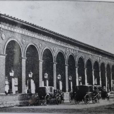
- Great Eastern Railway
- Listed building
- Mapping Relief
- medieval
- oral history
- poverty
- Public House
- Religious House
- Roman
- scholar
- school
- Then and Now
- tudor
- women
- work
- world war one
- world war two
Search by text
Maps of Cambridgeshire
Historic maps of Cambridgeshire
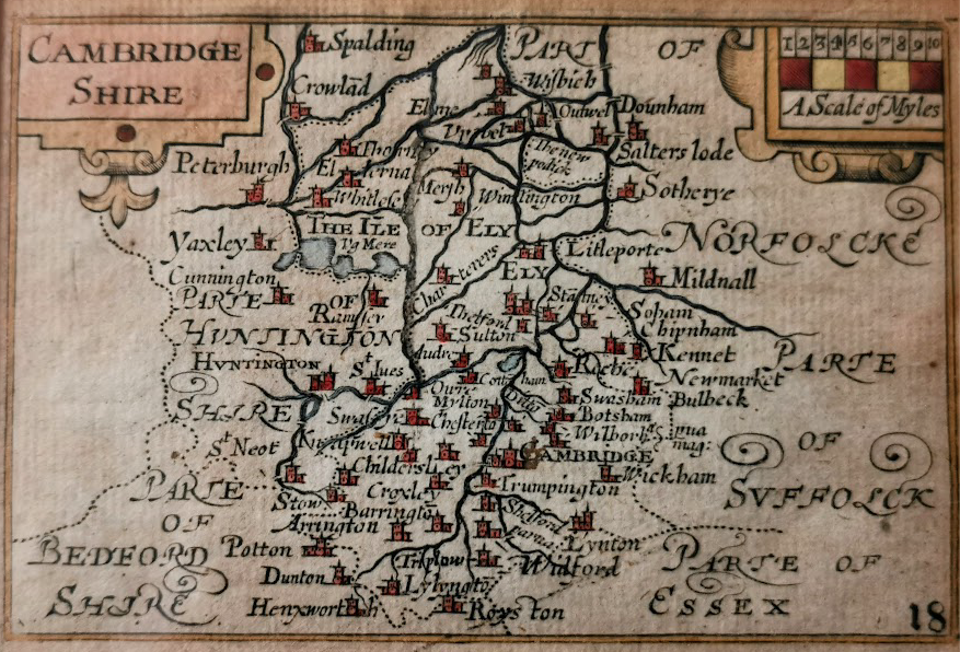
Pieter Van Den Keere pub 1627 (RGL)
This map is known as the ‘miature Speed’ as it was sold by George Humber. It was published in Amsterdam in 1627. It predates most of the major drainage works.
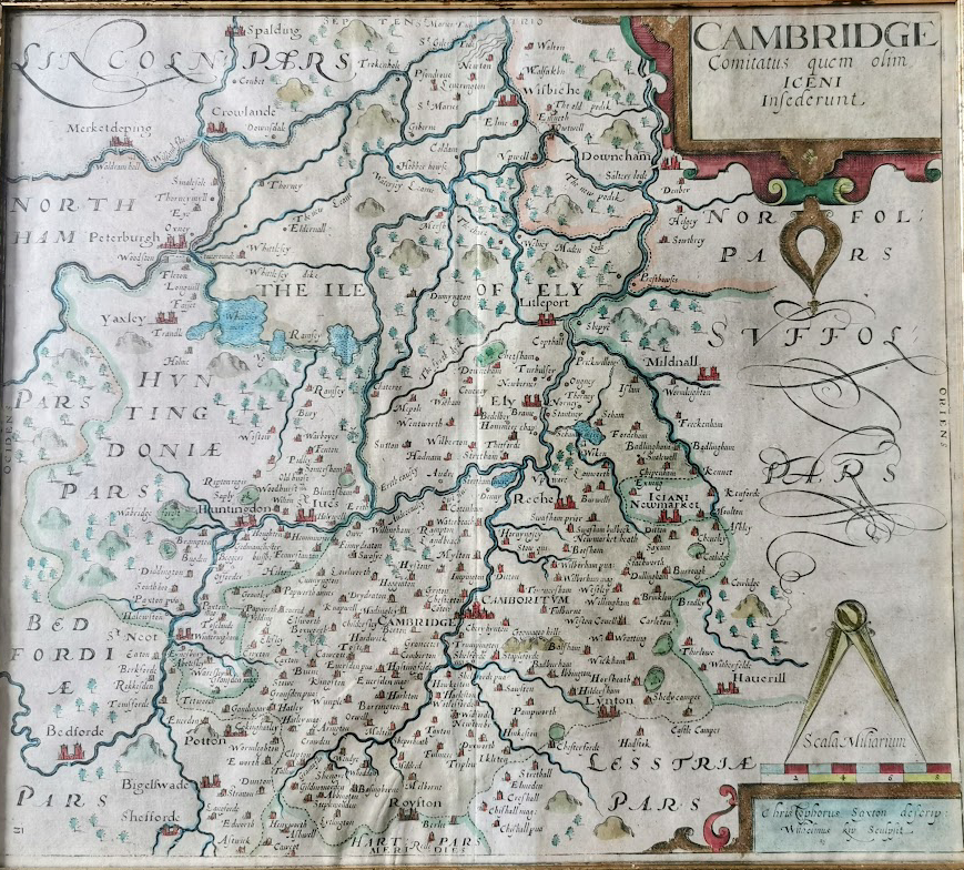
1637 map by William Kip after Saxton (RGL)
As with the map above, the major drainage dykes are still missing from this 1637 map.
1685 Abe Swal and John Churchill Nicholas (RGL)
This 1685 map shows some of the major drainage dykes.
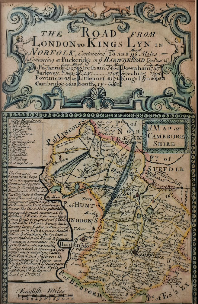
Owen and Bowen circa 1720 (RGL)
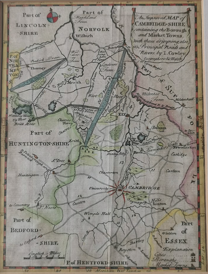
I Cowley 1744 (RGL)
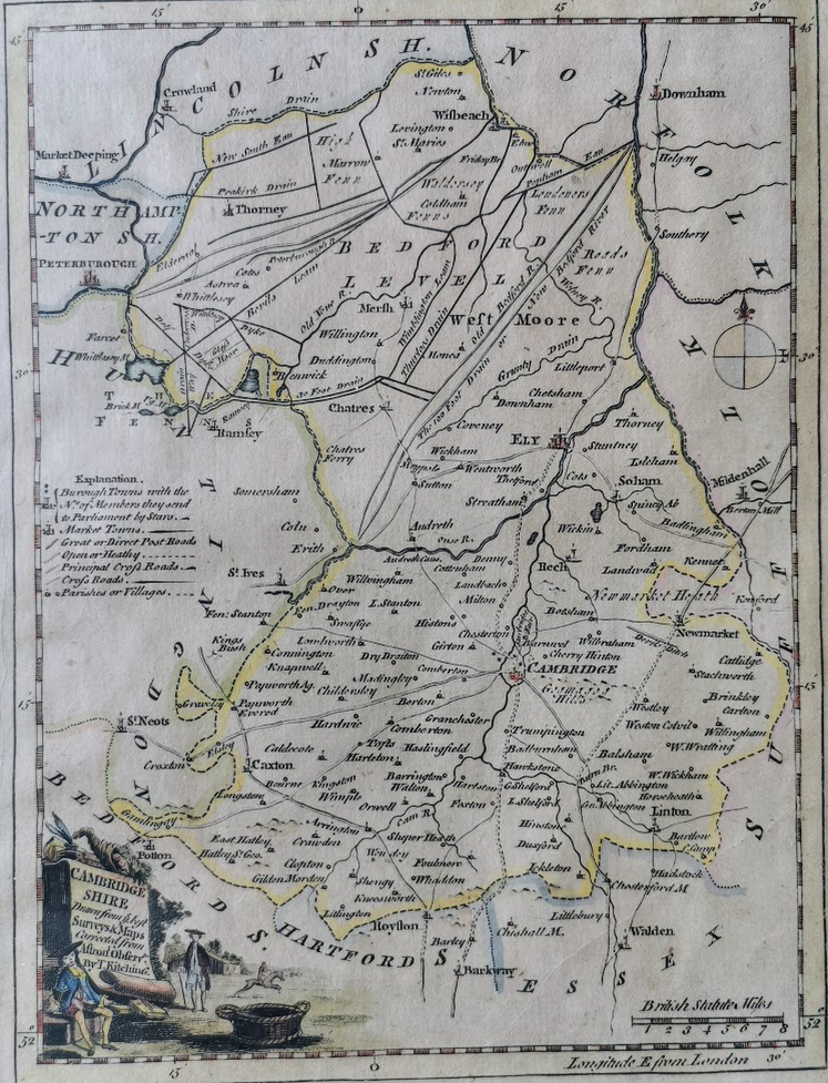
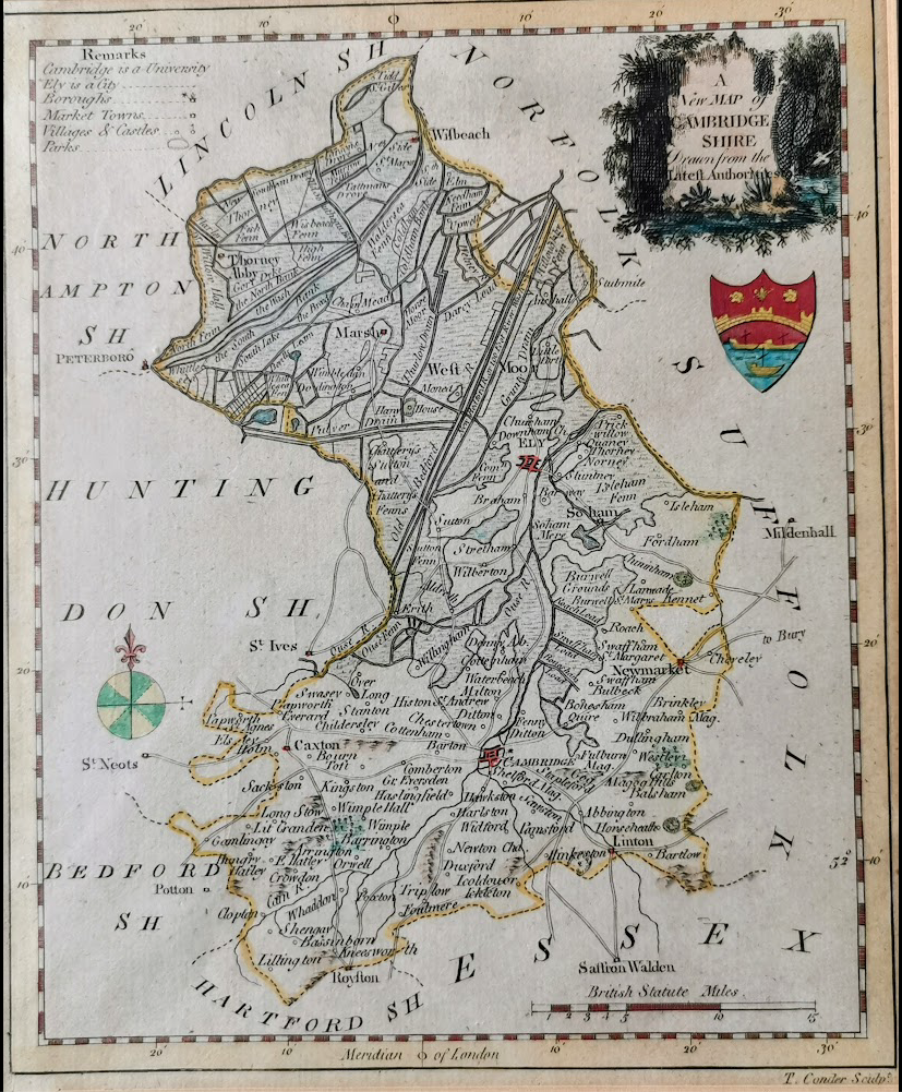
T Kitching from Astron. Observ. (RGL)
Projects
Contribute
Do you have any information about the people or places in this article? If so, then please let us know using the Contact page or by emailing capturingcambridge@
Licence
This work is licensed under CC BY-NC-SA 4.0![]()
![]()
![]()
![]()