Search by topic
- archaeology
- architecture
- bricklayer
- Building of Local Interest
- carpenter
- church
- crime
- dressmaker
- fire
- Great Eastern Railway
- listed building
- medieval
- oral history
- Public House
- Rattee & Kett
- Religious House
- Roman
- scholar
- school
- Then and Now
- tudor
- women
- work
- world war one
- world war two
Search by text
St Andrew’s Road / Lover’s Walk
History of Lover's Walk
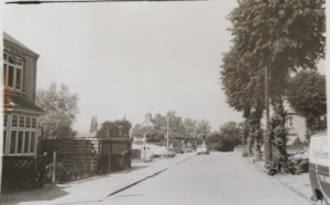
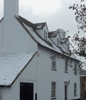
These houses are presumed to be at the Elizabeth Way end.
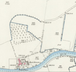
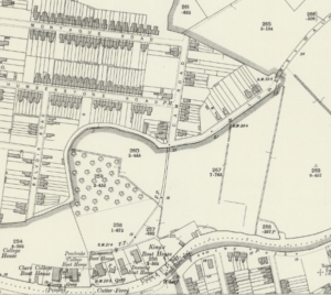
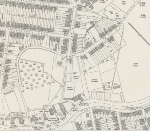
The three maps show the evolution of St Andrew’s Road from a track in 1885, to Lover’s Way in 1901 and St Andrew’s Road in 1926.
1913
SOUTH SIDE
Frederick Lincoln, Rosemont
Ernest Smith, Plemont
NORTH SIDE
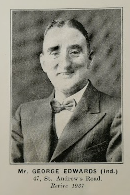
17. Hawthorn Cottage: George Edwards
16. Jasmine Cottage: Frank Hewish
15. River View: Sidney Ernest Warwick
14. Roseneath: Ernest Dickerson
13. Grasmere: A Capitaine
12. Holm Dale: Leonard Gray
11. Meadow View: William Hale
10. Walter John Saunders
9. Ernest James Ellwood
8. Harry Hewish, tailor
7. Arthur Cornwell
6. Walter Mole
Ivanhoe: Charles Henry Davidson
5. Hatfield Cottage: Robert Salisbury
4. Curacoa Cottage: M Gawthorp, chimney sweep
3. Herbert Hodder, bootmakers manager
2. Hildersham: Frederick William Godfrey
- Belle View: Daniel Gentle
1937
2. Frederick John Lincoln
18 / 20 Walter Riddy, motor car garage
15. Robert Ephraim Salisbury
45. Frank Hewish, ladies and gents tailor
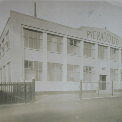
Pye Radio Ltd
James Brignell and Sons, builders
……………..
Contribute
Do you have any information about the people or places in this article? If so, then please let us know using the Contact page or by emailing capturingcambridge@
License
This work is licensed under CC BY-NC-SA 4.0


