Search by topic
- archaeology
- Building of Local Interest
- charity
- church
- crime
- dressmaker
- fire
- Great Eastern Railway
- Listed building
- Mapping Relief
- medieval
- oral history
- poverty
- Public House
- Rattee & Kett
- Religious House
- Roman
- scholar
- school
- Then and Now
- tudor
- women
- work
- world war one
- world war two
Search by text
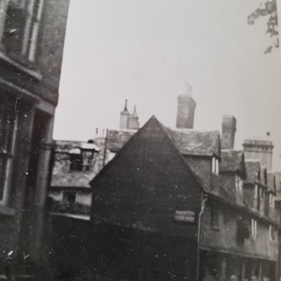
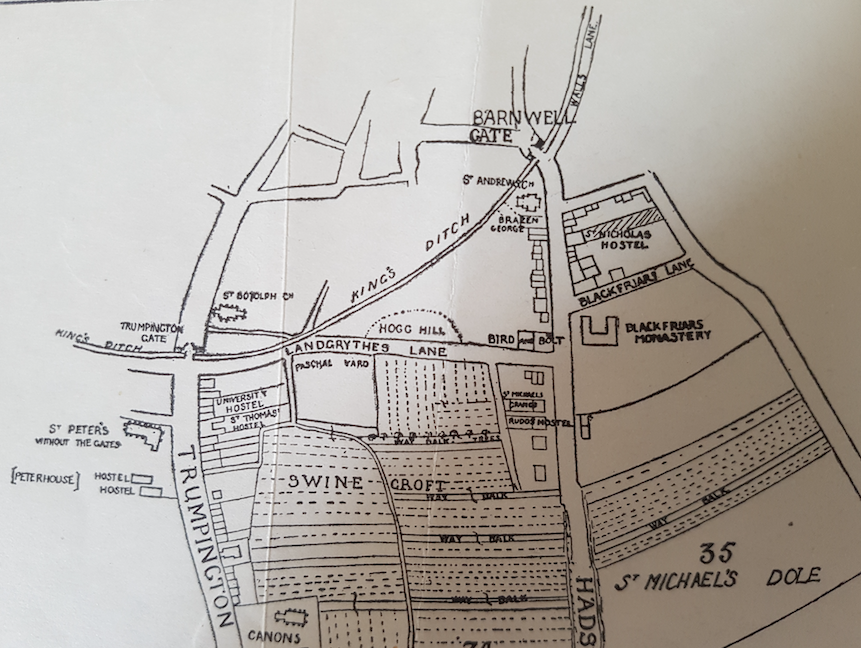 14th century Cambridge map from 'Outside the Barnwell Gate' by H P Stokes, 1915'
Emmanuel Street / Emmanuel Lane / Blackfriars’ Lane
History of Emmanuel Street
In medieval times this road was known as Preachers’ Lane, or Blackfriar’s Lane because of its proximity to the Dominican Priory on its south side. The priory gave up ownership of the lane in the reign of Henry III in return for land to the south of the priory.
In 1825 the Careless family was living here.
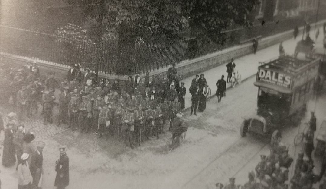
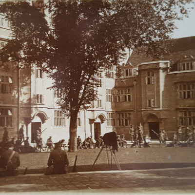
Emmanuel Street corner, 1915 (photo Layburn-Yorker) (Cambridgeshire Collection)
Troops of the Royal Welch Fusiliers en route to St Neots on 4 May 1915.
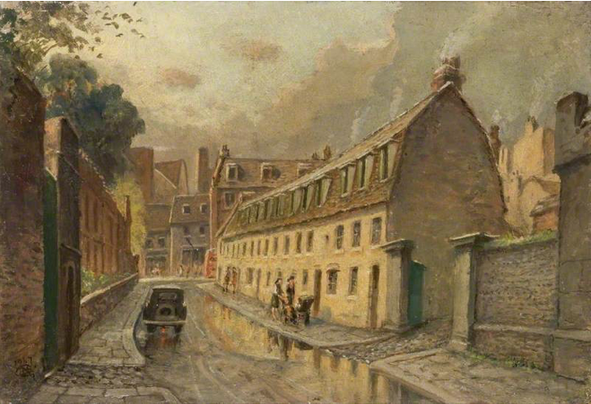
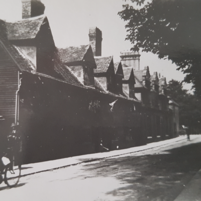
Emmanuel Street 1947, Mary C Greene (MoC)
Contribute
Do you have any information about the people or places in this article? If so, then please let us know using the Contact page or by emailing capturingcambridge@
License
This work is licensed under CC BY-NC-SA 4.0![]()
![]()
![]()
![]()