Search by topic
- archaeology
- Building of Local Interest
- chapel
- charity
- church
- crime
- dressmaker
- fire
- Great Eastern Railway
- Listed building
- Mapping Relief
- medieval
- oral history
- poverty
- Public House
- Religious House
- Roman
- scholar
- school
- Then and Now
- tudor
- women
- work
- world war one
- world war two
Search by text
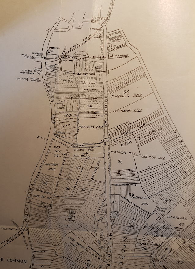 Map of Cambridge 'Outside Barnwell gate' 14th cent.
Gonville Place / Gravel Pit Road / King’s Lane
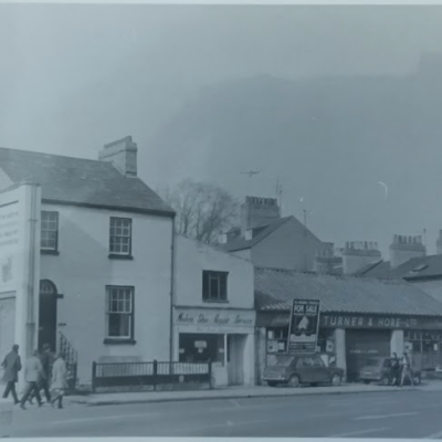
History of Gonville Place
In medieval times this road was described in an old Field Book (Bright’s Old Field Book, 1575) as “King’s Lane, in Middlefield, which lane, from Hinton Way, leadeth to Dawe’s Cross.” This cross stood near the site of the old poplar tree at what became known as Hyde Park Corner (the junction of Hills Road, Lensfield Road, Regent Street and Gonville Place). King’s Lane was afterwards known as Gravel Pit Road.
(source Outside the Barnwell Gate, 1915)
Projects
Contribute
Do you have any information about the people or places in this article? If so, then please let us know using the Contact page or by emailing capturingcambridge@
Licence
This work is licensed under CC BY-NC-SA 4.0![]()
![]()
![]()
![]()