Search by topic
- archaeology
- architecture
- bricklayer
- Building of Local Interest
- carpenter
- church
- crime
- dressmaker
- fire
- general labourer
- Great Eastern Railway
- listed building
- medieval
- oral history
- Public House
- Rattee & Kett
- Roman
- scholar
- school
- Then and Now
- tudor
- women
- work
- world war one
- world war two
Search by text
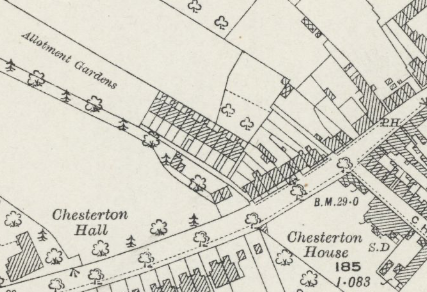 OS map 1925 showing terrace next to Allotment Gardens - Barleycorn Lane
Barleycorn Lane, High Street, Chesterton
History of Barleycorn Lane
Barleycorn Lane was demolished when the local roads were re-routed for the building of Elizabeth Way Bridge. The map shows the location in 1925 of the terrace next to ‘ allotment gardens.’
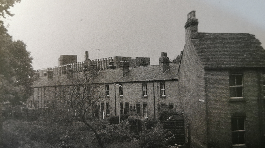
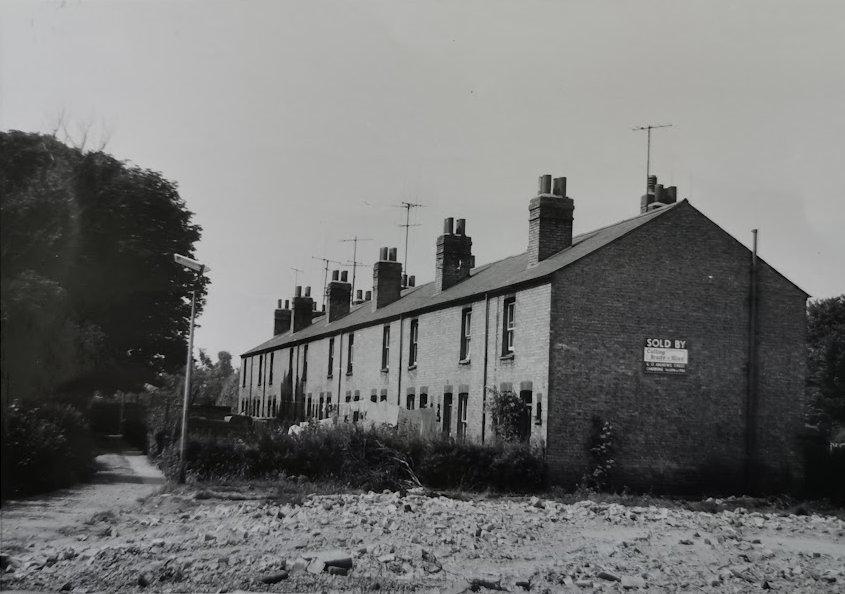
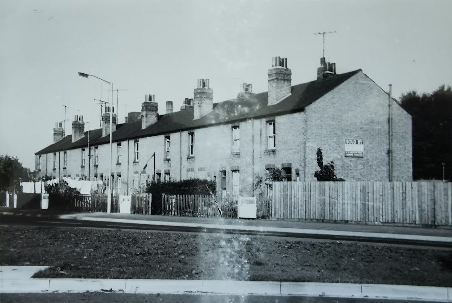
Victorian cottages in Barleycorn Lane
1913
- Mrs Driver
- J Robinson, labourer
- Robert Rayner, gardener
- William Newman, labourer
- Own C Bass, labourer
- Herbert Murrell, gardener
- Mrs Susan Wilson
- Lot Waller, basket maker
- Harold Charles Phillips, market porter
- W J Newman, labourer
- 11. James Pointer
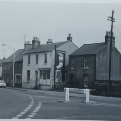
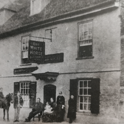
5 -9 High Street, Chesterton, 1969 (MoC 9/160/69) demolished during the rerouting of the High Street. Note path to Barleycorn Lane
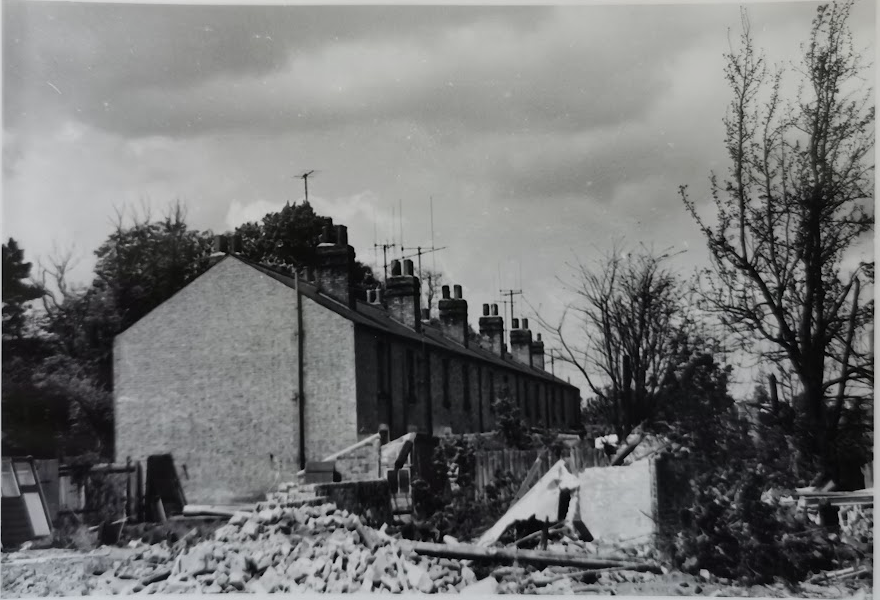
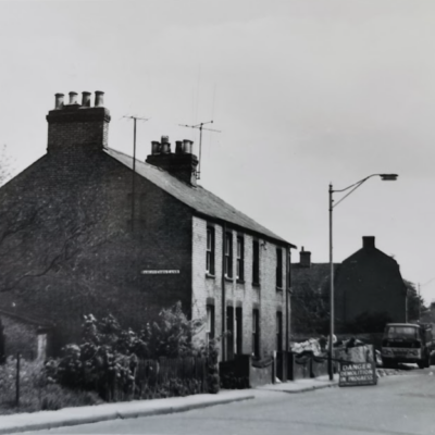
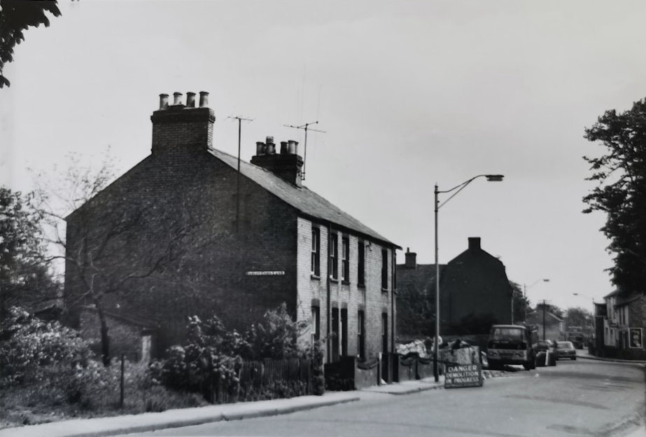
Barleycorn Lane prior to demolition, 1969 (MoC 10/160/69)
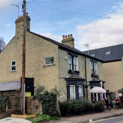
Barleycorn Lane, after removal of houses in Chesterton Road Sept 1969 (MoC 42/166/69)
Barleycorn Lane (MoC)
Contribute
Do you have any information about the people or places in this article? If so, then please let us know using the Contact page or by emailing capturingcambridge@
License
 This work is licensed under a Creative Commons Attribution-NonCommercial-ShareAlike 4.0 International License.