Search by topic
- archaeology
- Building of Local Interest
- charity
- church
- crime
- dressmaker
- fire
- Great Eastern Railway
- Listed building
- Mapping Relief
- medieval
- oral history
- poverty
- Public House
- Rattee & Kett
- Religious House
- Roman
- scholar
- school
- Then and Now
- tudor
- women
- work
- world war one
- world war two
Search by text
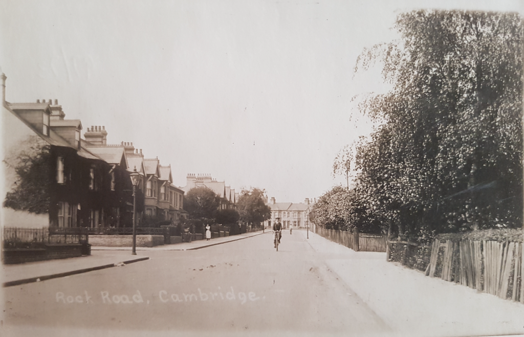 Rock Road
Rock Road
Notes on the history of Rock Road, Cambridge
This and neighbouring roads were developed by The Rock Freehold Land Society at the end of the 19th and beginning of the 20th centuries. This area of land had been known as Cavendish Park and was marked on the 1886 Ordnance Survey map. At the beginning of the 19th century the land occupied now by Hartington Grove was part of the copyhold land of two different manors, Netherhall and Uphall.
Newspaper adverts circa 1902 for the sale of property in the area carried the slogan:
“If you cannot afford to go to the Seaside, get on the Rock Estate.” So says an eminent Physician.
For a while the city boundary ended at Rock Road.
The Friends of Rock Road Library history of the area can be found here:
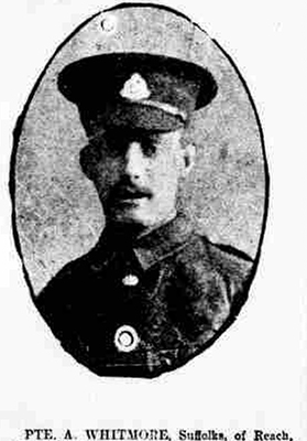
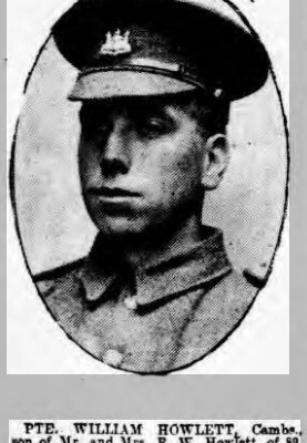
Details of residents who participated in World War One can be found here:
http://www.stjohntheevangelistcambridge.org/about-us/the-great-war-in-our-parish/rock-road/
Sources: Cambridge News (Cambridgeshire Collection), UK census, Ancestry UK.
Contribute
Do you have any information about the people or places in this article? If so, then please let us know using the Contact page or by emailing capturingcambridge@
License
This work is licensed under CC BY-NC-SA 4.0


