Search by topic
- archaeology
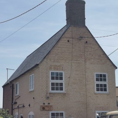
- Building of Local Interest
- chapel
- charity
- church
- crime
- dressmaker
- fire
- Great Eastern Railway
- Listed building
- Mapping Relief
- medieval
- oral history
- poverty
- Public House
- Religious House
- Roman
- scholar
- school
- Then and Now
- tudor
- women
- work
- world war one
- world war two
Search by text
Earith Bulwark
History of Earith Bulwark
Schedule Monument:
The Bulwark was strategically placed to command an important river crossing at the western end of the fen causeway which linked Huntingdon to the the Isle of Ely; and to control traffic on both the River Great Ouse, and the earlier of the two artificial navigations (the Old Bedford River), constructed by the engineer Vermuyden in the 1630’s. The monument includes the fieldwork with its square inner enclosure, corner bastions, perimeter defences and outworks; and a small steel-domed gun emplacement positioned within the earlier fortifications during World War II.
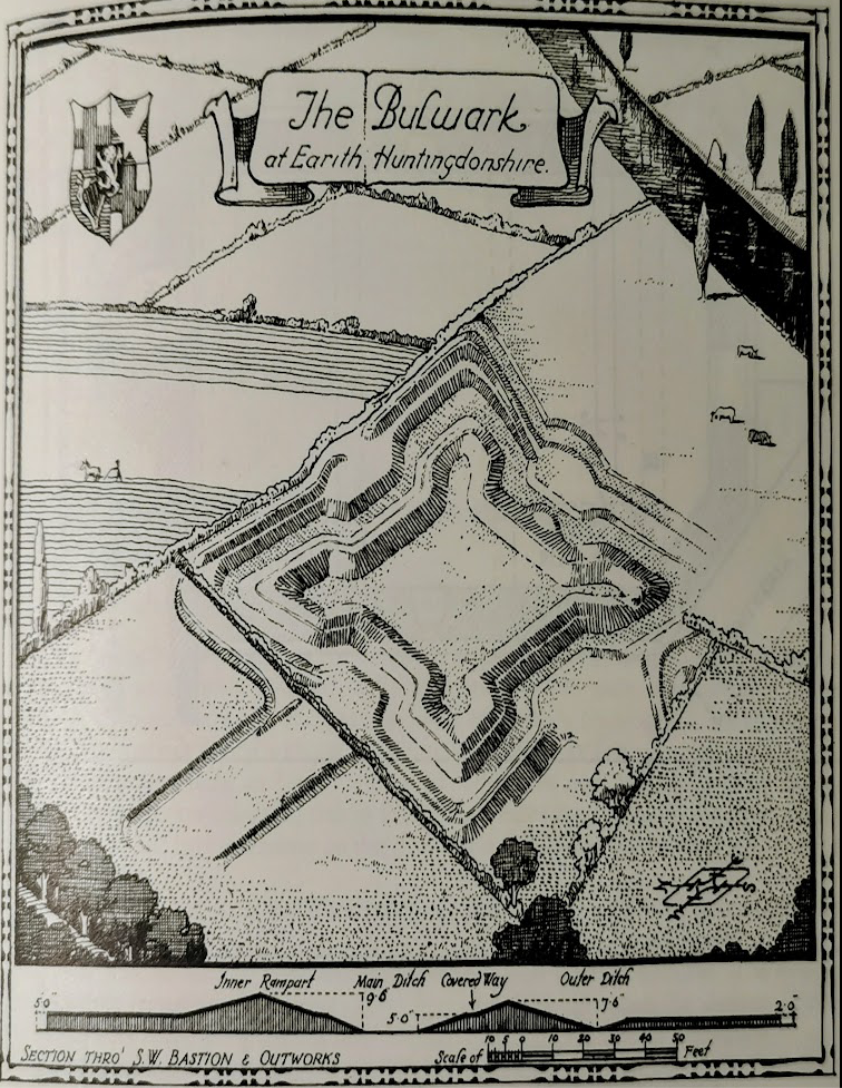
The Bulwark, Earith (Royal Commission of Historical Monuments)
After the Battle of Dunbar (1650) Scottish prisoners were quartered in the fort while digging the New Bedford River.
See extensive description:
https://historicengland.org.uk/listing/the-list/list-entry/1013282?section=official-listing
See also:
Mike Osborne, Defending Cambridgeshire
Royal Archaeological Institute 1967 p.12 notes that the designer of the bulwark is undocumented but there are advanced ideas behind the plan and it evidences the influence of the the Dutch School of fortification. As such it is an important example of fortification.
The Religious Houses of Cambridgeshire, CCC, p.22 notes: The first reference to a causeway from Ely to Aldreth comes in 1172-3 when the Abbey spend large sums of money on its construction or repair, and the rebuilding of the timber bridge over the Ouse at Earith. A series of Indulgences were offered during the 14th century to the hermits at Earith who were responsible for the repair of the causeway and bridge. These included Richard de Grymston in 1397, Henry Bourne in 1401 and John Spencer in 1406.
There was a chapel at the hermitage dedicated to St Mary which was still in use in 1569. It was sold in 1571 and seems to have been converted into a farmhouse. It was derelict in 1925 and stone was used to repair the bridge nearby. The actual hermitage may have been on the site of the marina.
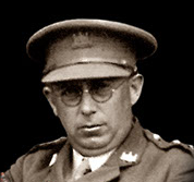
This is also the location of the memorial to the crew of the Stirling bomber that crashed 17th January 1942.
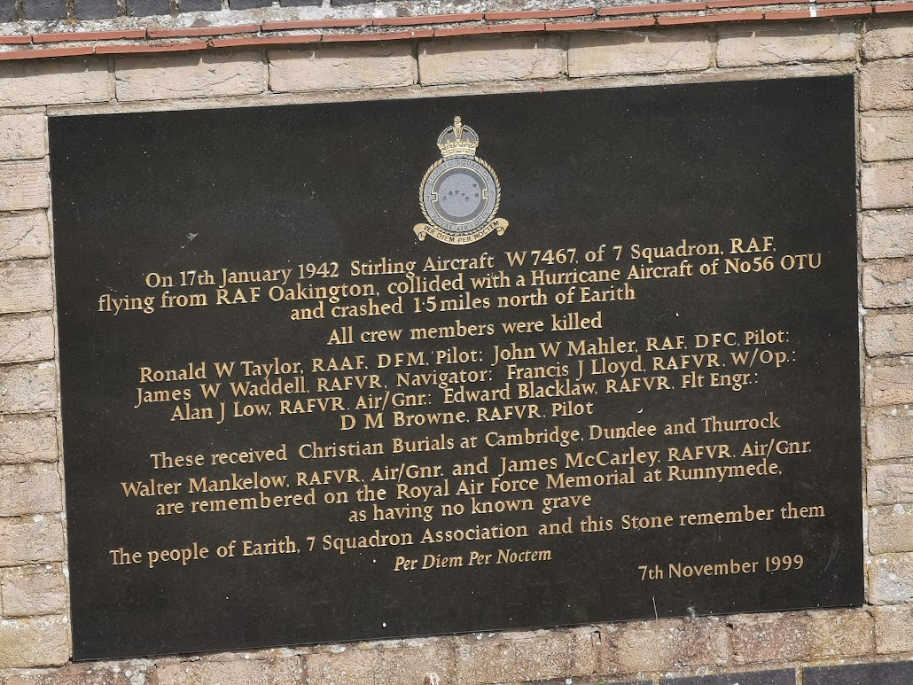
Memorial to crew of Stirling bomber crashed 17th January 1942 (RGL2025)
Projects
Contribute
Do you have any information about the people or places in this article? If so, then please let us know using the Contact page or by emailing capturingcambridge@
Licence
This work is licensed under CC BY-NC-SA 4.0![]()
![]()
![]()
![]()