Search by topic
- archaeology
- architecture
- bricklayer
- Building of Local Interest
- carpenter
- church
- crime
- dressmaker
- fire
- Great Eastern Railway
- listed building
- medieval
- oral history
- Public House
- Rattee & Kett
- Religious House
- Roman
- scholar
- school
- Then and Now
- tudor
- women
- work
- world war one
- world war two
Search by text
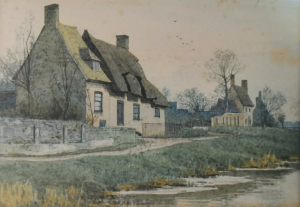
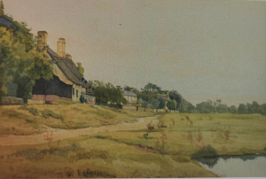
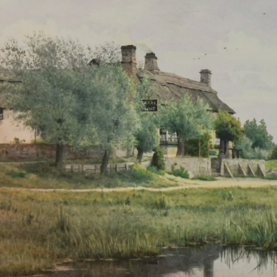
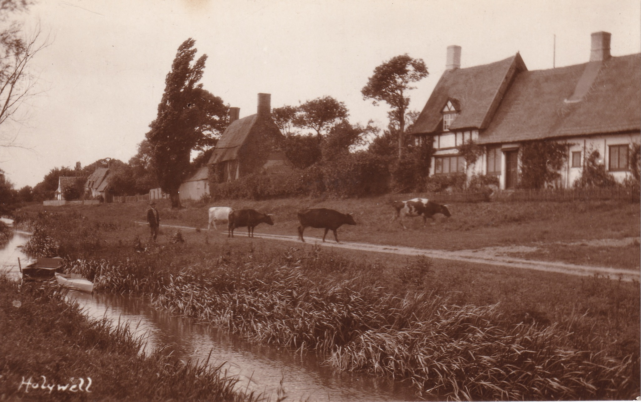
 Holywell Front (undated)
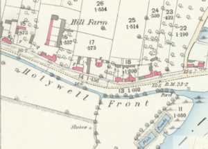
Holywell Front & Marley Gap Brook, Holywell-cum-Needingworth
History of Holywell Front
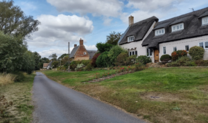
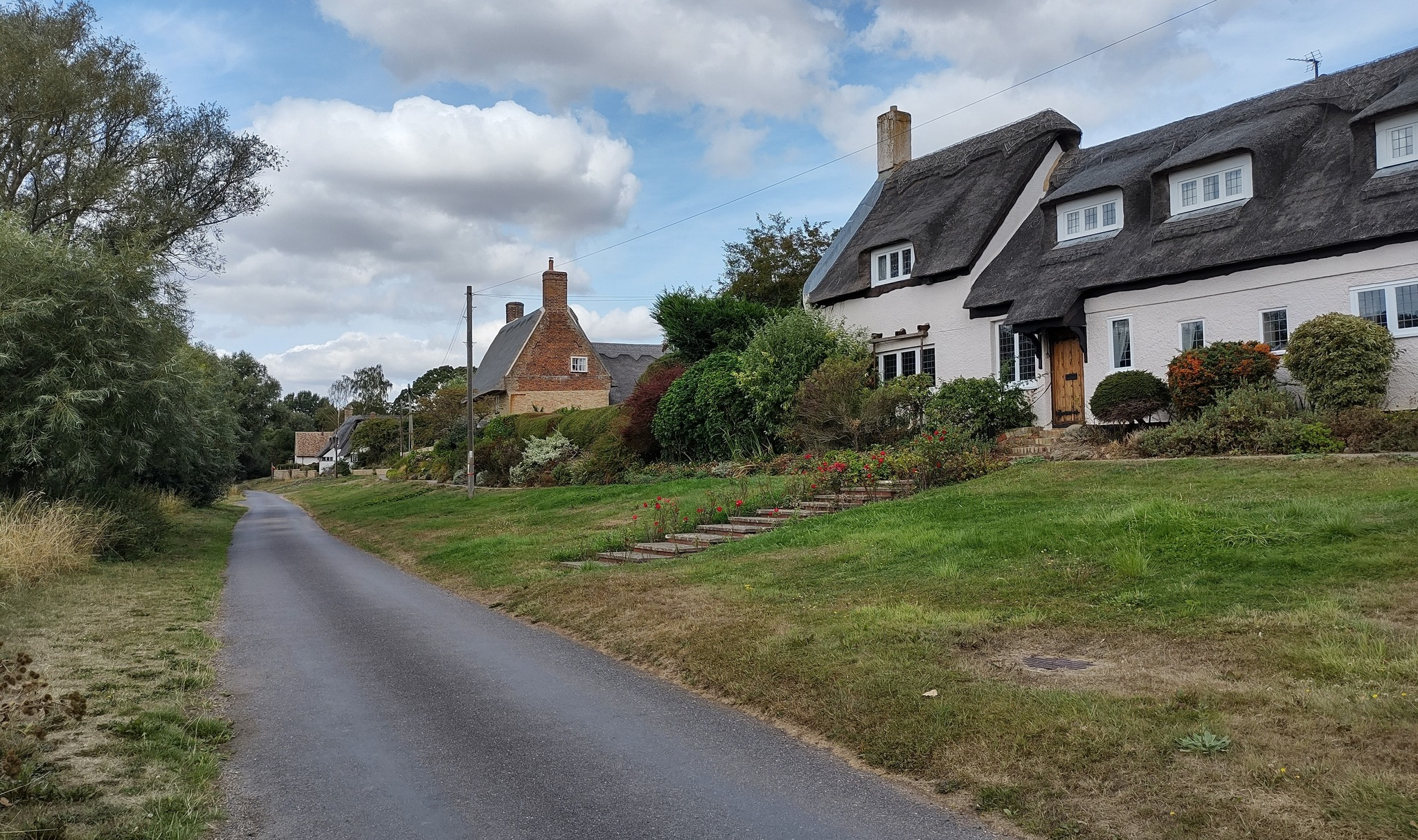
Then and Now (David Gent) – Holywell-cum-Needingworth, Holywell Front.
I couldn’t get in the exact same spot as the original photographer as I couldn’t get over the water and even if I did, the land the other side was completely overgrown. The water course shown is Marley Gap Brook, I wonder where that name came from?
Holywell is a Saxon ring village and the layout of the roads haven’t changed much since that time.
The first picture is an undated postcard. Second picture was taken in August. The brook is still there but pretty much hidden in the undergrowth, the road shown in the second picture was no more than a dirt track/path in the first
Then and Now
Contribute
Do you have any information about the people or places in this article? If so, then please let us know using the Contact page or by emailing capturingcambridge@
License
This work is licensed under CC BY-NC-SA 4.0


