Search by topic
- archaeology
- Building of Local Interest
- charity
- church
- crime
- dressmaker
- fire
- Great Eastern Railway
- Listed building
- Mapping Relief
- medieval
- oral history
- poverty
- Public House
- Rattee & Kett
- Religious House
- Roman
- scholar
- school
- Then and Now
- tudor
- women
- work
- world war one
- world war two
Search by text
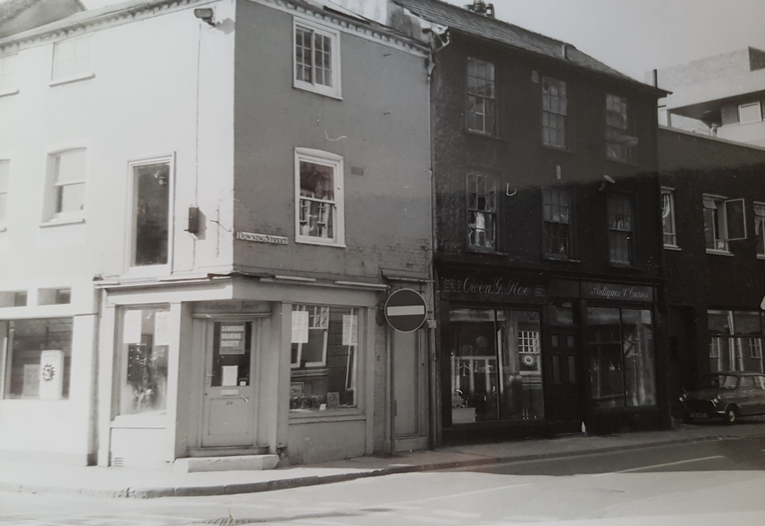
 Downing Street circa 1902
Downing Street / Landgrythes Lane
History of Downing Street
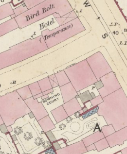
Downing Street follows the route of the 14th century Landgrythes Lane (see Outside the the Barnwell Gate, rev H P Stokes, 1915, Cambridge Antiquarian Society). At the western end it met Trumpington Road at the Trumpington Gate; at the eastern end it met Hadstock Way (St Andrew’s Street, Regent Street, Hills Road) at the corner where the Bird and Bolt inn was. opposite Blackfriars Monastery.
Other early names it was known by include Dowdivers Lane (Deus Dewers Lane, Duzedewers Lane, etc) and Langreth Lane, or Langer Lane. Later names are ‘the lane from the Mills to Emmanuel’, Hoghill Lane, Bird-bolt Lane and Pembroke Street.
Downing Street, probably south side east end corner with St Andrew’s Street
Contribute
Do you have any information about the people or places in this article? If so, then please let us know using the Contact page or by emailing capturingcambridge@
License
This work is licensed under CC BY-NC-SA 4.0![]()
![]()
![]()
![]()