Search by topic
- archaeology
- Building of Local Interest
- charity
- church
- crime
- dressmaker
- fire
- Great Eastern Railway
- Listed building
- Mapping Relief
- medieval
- oral history
- poverty
- Public House
- Rattee & Kett
- Religious House
- Roman
- scholar
- school
- Then and Now
- tudor
- women
- work
- world war one
- world war two
Search by text
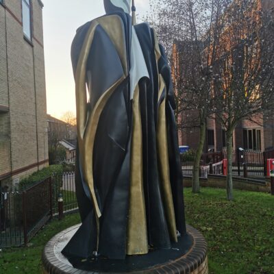
Hyde Park Corner / Dawe’s Cross
History of Hyde Park Corner
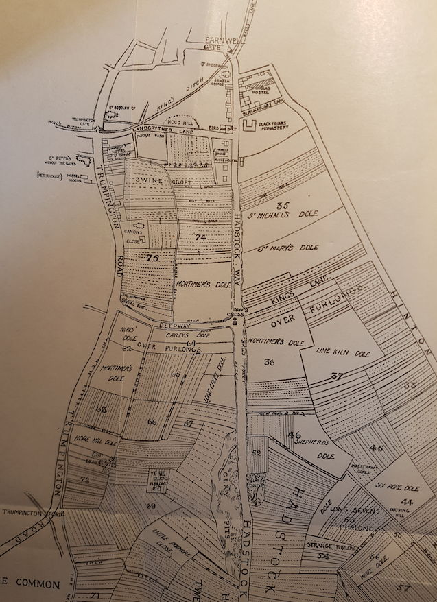
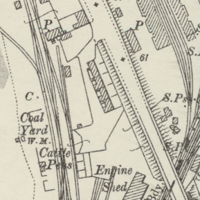
Map of Cambridge ‘Outside Barnwell gate’ 14th cent.
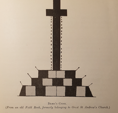
It was at this point, the junction of the medieval King’s Lane (Gonville Place), Deepway (Lensfield Road) and Hadstock Way (Hills Road) that Dawe’s Cross was situated.

Dawe’s Cross
Dawe’s Cross was often mentioned in ancient deeds and representations of it exist in old Field Books from Peterhouse and St Andrew the Great.
Dawe’s Cross
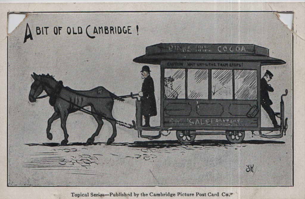
Hyde Park Corner was the nick name for the junction of Hills Road and Regent Street outside the Catholic Church. It was the intersection of the two horse drawn tram lines that operated from 1880 to 1914 run by Cambridge Street Tramways.
Contribute
Do you have any information about the people or places in this article? If so, then please let us know using the Contact page or by emailing capturingcambridge@
License
This work is licensed under CC BY-NC-SA 4.0![]()
![]()
![]()
![]()