Search by topic
- archaeology
- architecture
- bricklayer
- Building of Local Interest
- carpenter
- church
- crime
- dressmaker
- fire
- Great Eastern Railway
- listed building
- medieval
- oral history
- Public House
- Rattee & Kett
- Religious House
- Roman
- scholar
- school
- Then and Now
- tudor
- women
- work
- world war one
- world war two
Search by text
Milne Street (Queens’ Lane – Trinity Lane)
History of Milne Street
During the 12th cent. in particular the area between Milne Street and the river became the most populous part of Cambridge. It was packed with hythes and docks all along the river front, and with warehouses, granaries, houses and a new church, St John Zachary, along the tiny lanes that ran through the area. Alison Taylor (Cambridge The Hidden History) notes that the volume debris produced in this area caused ground levels to rise about 2 metres.
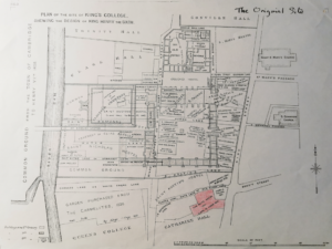
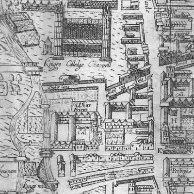
Novelist Susanna Gregory has created an interesting web site in which a map of Cambridge circa 1350 shows Milne Street running north to south. The northern end survives as Trinity Lane, the southern as Queens’ Lane; the central section was lost to the development of King’s College.
Contribute
Do you have any information about the people or places in this article? If so, then please let us know using the Contact page or by emailing capturingcambridge@
License
This work is licensed under CC BY-NC-SA 4.0


