Search by topic
- archaeology
- Building of Local Interest
- charity
- church
- crime
- dressmaker
- fire
- Great Eastern Railway
- Listed building
- Mapping Relief
- medieval
- oral history
- poverty
- Public House
- Rattee & Kett
- Religious House
- Roman
- scholar
- school
- Then and Now
- tudor
- women
- work
- world war one
- world war two
Search by text
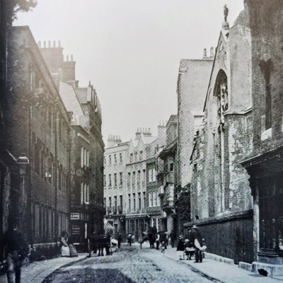
Le Foule Lane / Kings Childer Lane / Conduit
History of Kings Childer Lane and Foule Lane
This point is the approximate junction of the medieval Kings Childer Lane and Foule Lane.
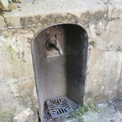
Kings Childer Lane ran from High Street (now Trinity Street) west and then north west to the river. Along two thirds of its length from the High Street the freshwater conduit ran..
Foule Lane ran from St Michael’s Lane (now Trinity Lane) north to end at Kings Childer Lane.
On the western side of Foule Lane lay Michael House college and St Gregory’s Hostel. On the eastern side of the lane were St Margaret’s Hostel and St Katherine’s Hostel.
On the northern side of Kings Childer Lane lay King’s Hall.
Contribute
Do you have any information about the people or places in this article? If so, then please let us know using the Contact page or by emailing capturingcambridge@
License
This work is licensed under CC BY-NC-SA 4.0


